Catamount Kids will be holding two different Summer Camp activities during the summer of 2014. Our first Summer Camp will feature guest instructor Stuart Strife, and the topic will be “Understanding Geologic Maps”.
 Understanding Geologic Maps with Stuart Strife

Date: Saturday July 19, 2014
Time: 9 AM to 12 Noon
Location: Catamount Research and Development (Click Here for Directions)
About the Class:
We all use maps to find out where we are and how to get to where we want to go. There are many different kinds of maps that we can use to create a picture of the Earth’s surface. We are all familiar with state maps, town maps, maps showing where parks are located, and maps that show where lakes and oceans are. But, do you know what maps geologists make and use?
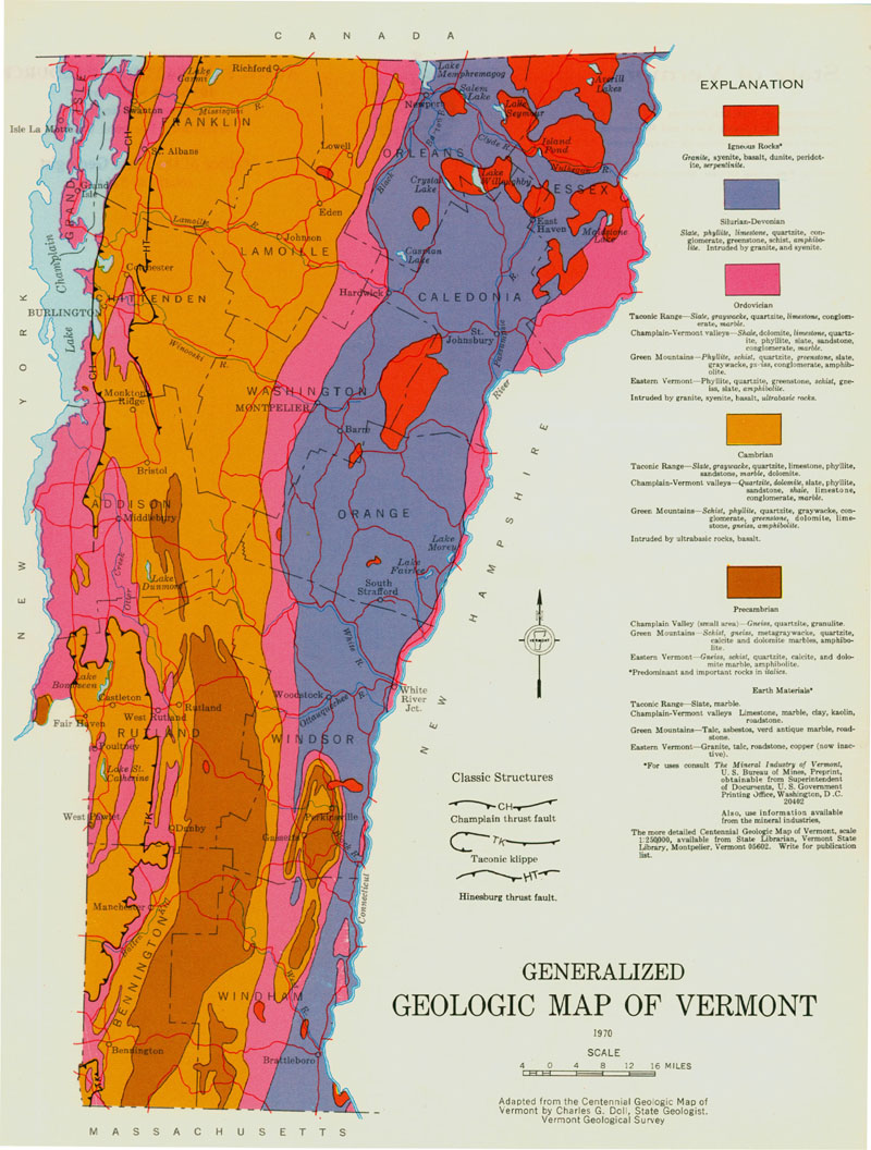 Geologists make colorful maps that tell us where different types of rocks are located on or below the Earth’s surface. These types of maps are used to find gold, diamonds, coal, sand and gravel, oil and gas, and any number of minerals we use in our daily lives.
Come join us and learn how to make a geologic map. We will use a cake that is made of different layers and frosting to represent the Earth. Using straws we will “drill” core holes into the cake (Earth) to find the hidden layer of ore. As we gather new core information, we will map what we believe the shape of the ore layer is. Ultimately, we will draw a map of the shape of the ore and “drill out” our prediction. And, the best part: we get to eat the cake when we are done!